Drone Survey Services
The KSA Land Surveyors team consists of engineers, drone pilots, GIS specialists, and software developers, who have delivered various drone survey solutions to the Kingdom of Saudi Arabia. We provide our clients with thorough end-to-end solutions, beginning with the collection of drone data and extending through its processing, analysis, and the development of integration with both online and mobile applications.
The method of conducting business has, without a doubt, changed dramatically as a result of drone survey and UAV technologies. Since they were first introduced, these aerial vehicles have made an impact on every conceivable sector of the economy. People are now employing drone surveying services because their advantages have been periodically validated.
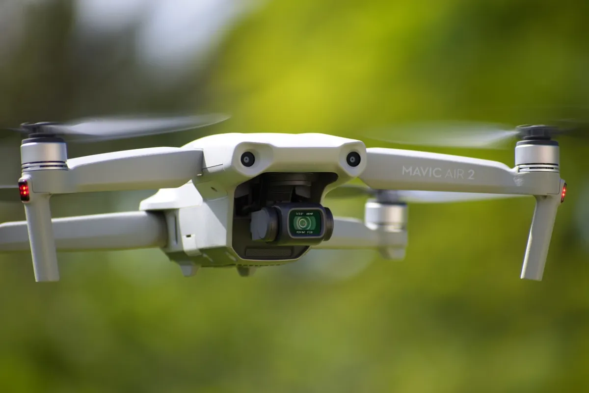
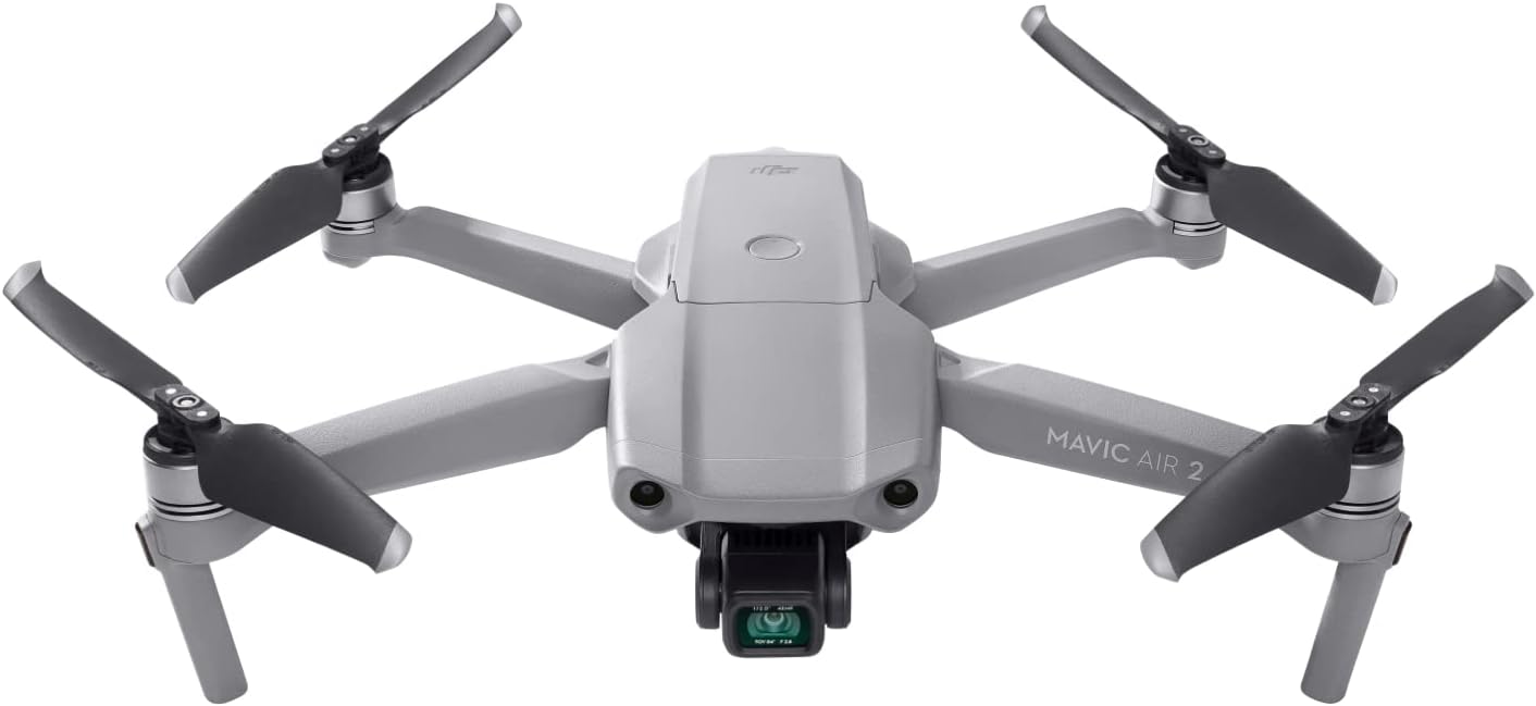
We possess the ability to mobilize our team swiftly and deliver projects effectively, thanks to our comprehensive fleet of drones and a network of drone pilots distributed throughout Saudi Arabia. Our systems incorporate multi-rotor drones that can transport payloads, including high-zoom cameras, thermal cameras, RTK technology, LiDAR sensor technology, and cameras featuring multiple spectral sensors. The range of drone services we offer includes drone survey and mapping, photogrammetry data processing, 3D model creation, drone inspections, GIS, and automated report generation.
We deliver a range of solutions:
• Geo-referenced Ortho-Mosaics.
• Multispectral Photogrammetric Applications
• Drones Survey in Mining.
• Digital Elevation Model(DEM)
• Digital Surface Model (DSM)
• Digital Terrain Model (DTM)
• 3D Modeling
• Point Cloud Generation
• 3D Mesh
• Topographic Contour Line
• Stockpile Volumetric Calculations
• Thermal inspection
• Agriculture and Forestry
• Corridor Mapping and Videography
Advantages of Drone Land Surveying
• Swift and Precise: Drones gather data instantly, significantly cutting down the time required for conducting a survey.
• Exceptional Accuracy: Utilizing ground control points, RTK systems, and high-quality cameras, drone surveys can achieve accuracy within centimeters.
• Safe and Economical: Eliminates the necessity for surveyors to navigate hazardous landscapes.
• Versatility: Perfect for surveys of any size, whether small or large, across various sectors.
Applications and Use Cases
Drone surveying companies are providing a range of services in various industries:
• Construction: Monitoring site progress, conducting volumetric measurements, and planning.
• Real Estate: Using drones for property surveys, boundary mapping, and marketing strategies.
• Mining: Performing stockpile evaluations and pit modeling with UAV drone surveys.
• Agriculture: Monitoring the health of crops and leveling land through aerial surveys.
• Urban Planning: Capturing 3D models of cities to enable smart development.
• Infrastructure Projects: Mapping and surveying for the planning of roads, railways, and bridges using drones.
What is Drone Land Surveying:
Drone land surveying, or UAV surveying, involves the use of drones that have high-resolution cameras and sensors. These drones capture aerial photographs, positional data, and elevation models of the Earth’s surface. The data collected is then processed to generate maps, orthophotos, 3D models, and topographical insights for multiple applications.
How Drone Surveying Functions
The fundamental process of drone survey and mapping consists of:
1. Flight Planning: The initial phase involves designing the flight path and altitude using specialized software. This guarantees comprehensive coverage of the area.
2. Drone is Equipped: The drone is outfitted with sensors, usually RGB cameras or LiDAR, based on the objectives of the survey.
3. Data Collection: The drone navigates over the specified area to gather high-resolution images and geospatial information.
4. Ground Control Points (GCPs): These are reference markers on the ground. They are identified with GPS devices to ensure precision in the final models.
5. Data Processing: Utilizing photogrammetry software, the captured images are transformed into outputs such as orthomosaics, digital elevation models (DEMs), and point cloud representations.
6. Analysis and Reporting: The outputs are examined and exported into various formats needed by engineers, planners, and GIS professionals.


Types of Drones Used in Surveying
The selection of a drone is based on the size of the area, the resolution required, and the conditions of the terrain. The main types of drones include the following.
1. Multirotor Drones
These drones are well-suited for small-area surveys and vertical inspections. They are agile and easy to deploy, but they have a limited flight time.
2. Fixed-Wing Drones
Fixed-wing drones are more efficient for surveying larger areas. They fly like airplanes and provide longer flight durations and ranges. These drones are often used in UAV mapping for agricultural fields, highway projects, and urban development.
Key Technologies in Drone Surveying
1. Photogrammetry
Photogrammetry is the method of stitching together multiple overlapping images taken from the drone into a single accurate map. It is ideal for property surveys and terrain visualization.
2. LiDAR (Light Detection and Ranging)
Drones equipped with LiDAR technology capture millions of points per second, creating highly detailed point cloud data, even in shaded areas under tree canopies.
3. RTK and PPK Technology
Real-Time Kinematic (RTK) and Post-Processed Kinematic (PPK) technologies enhance GNSS data accuracy. They enable centimeter-level precision, which is vital for engineering and construction projects.

