GPR Survey (Ground Penetrating Radar)
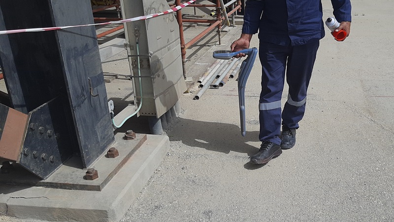
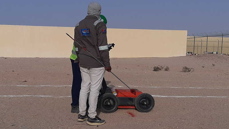
Subsurface investigations using Ground Penetrating Radar GPR Survey is a non-destructive technique to produce a cross-section profile of the subsurface without any drilling, trenching, or ground disturbances. The profiles are used for detecting buried utilities, such as pipes, cables, etc in a totally non-destructive manner. Additionally, subject to requirements, we also use Cable & Pipe Locators, and for precise definitions of locations, we use DGPS and Electronic Total Stations.
The system operates by detecting subsurface changes in EM properties (dielectric permittivity, conductivity, and magnetic permeability) which in a geological setting are functions of soil and rock material, water content, and bulk density. Data is acquired by transmitting high-frequency electromagnetic (EM) signals into the ground which are reflected from various boundaries possessing Electromagnetic Property contrasts. The equipment receives the reflected waves over a selectable time range and displays them in real-time on screen. The reflected wave data is also saved in appropriate memory for later processing and interpretation. GPR survey measurements are used in geologic, engineering, hydrologic, and environmental applications.
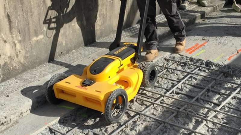
GPR Survey and Concrete Scanning
Data acquisition associated with underground utilities survey is essential to the early stages of any project in order to utilize and update existing data sets, thus saving numerous site visits attempting to locate and verify the same services at different stages of the project.
All of our operators have the required experience in mapping underground services and the associated data required such as position, depth, type, size, and material. LCC Survey Solutions is qualified to deliver projects in line with the ASCE – 38-02, American Standard for Civil Engineering for Sub Surface Utility Engineering. Our deliverables are typically produced in DWG, DXF, PDF, and Revit.
Utility line locating is the process of identifying and labeling underground utilities. These include a multitude of subsurface services including communications, electrical, gas, sewer, water, and more.


GPR Survey, Voids & Cavity Detection
KSA Land Surveyors is a leading GPR survey company in the Kingdom of Saudi Arabia which provides the following services using GPR survey:
⇒ GPR Survey for the Location of underground utilities, such as pipes (metallic and non-metallic pipelines), electric cables (including identification of live cables using an Induction Locator), drums, tanks, sewers, and so on.
⇒ GPR Survey for Mapping geological features, such as depth to bedrock, depth to the water table, depth and thickness of soil strata on land and under freshwater bodies, and location of subsurface cavities and fractures in bedrock.
⇒ GPR Survey for Mapping landfills and trench boundaries, and contaminants.
⇒ Ground Penetrating Radar Survey for conducting investigations for archaeological and forensic applications.
⇒ GPR Survey for Conducting studies such as roads and railroad track-bed studies, and highway bridge scour studies.
GPR Survey Services
⇒ Ground Penetrating Radar Survey for Concrete Structures, Concrete Walls, Concrete Foundations, and Concrete Slab Scanning (Rebar, Conduit, Post-Tension Cables, Pan Decking, Voids, Metallic and Non-Metallic Service Utilities Detection).
⇒ GPR Survey & Concrete Scanning,
⇒ Underground Utility Detection,
⇒ Underground Cables and Pipelines Detection,
⇒ Ground Penetrating Radar Survey,
⇒ Voids and Cavity Detection,
⇒ Pipeline and Cable Locating,
⇒ Concrete Structure and Slabs Scanning,


