What Is The Topographic Survey
A topographic survey is a distinct category of land surveying that emphasizes the precise measurement and documentation of both natural and artificial features within a designated land area. The main goal of this type of survey is to produce a thorough depiction of the terrain, including variations in elevation and significant elements such as hills, valleys, water bodies, vegetation, buildings, roads, and other constructions. By offering a detailed and scaled illustration of the land’s surface, a topographic survey enhances the understanding of its physical attributes and supplies critical information for various applications.
Essential Elements of a Topographic Survey:
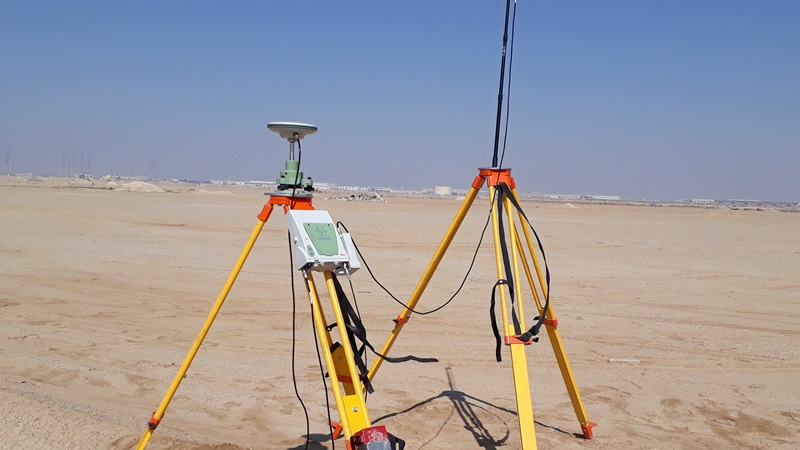
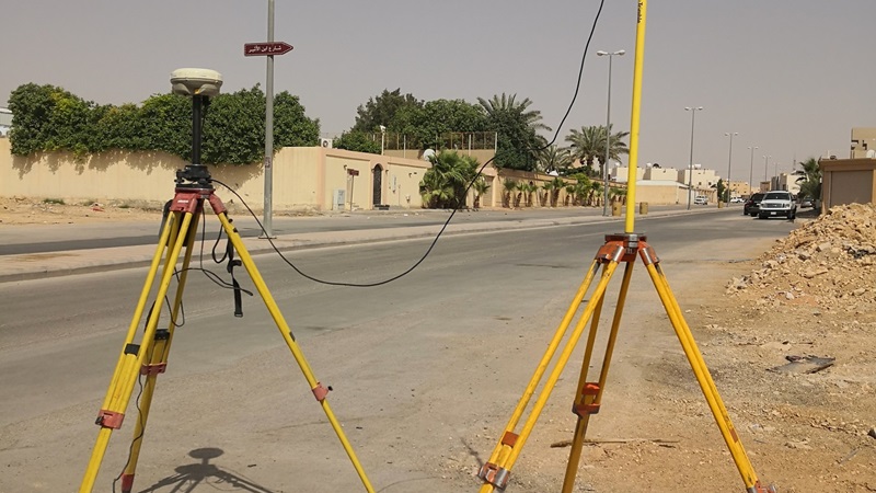
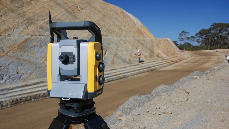
⇒ Surveyors employ advanced tools, including total stations, GPS systems, and laser scanning devices, to obtain precise measurements of the terrain and its characteristics.
⇒ The data gathered is utilized to generate contour lines that illustrate variations in elevation, aiding in the visualization of the land’s contours and inclines.
⇒ Topographic surveys document detailed aspects of the landscape, encompassing vegetation, structures, infrastructure, and other significant features.
⇒ The findings from a topographic survey are commonly displayed as topographic maps, digital terrain models (DTMs), and three-dimensional visualizations, offering a detailed and thorough representation of the area surveyed.
⇒ These representations serve as essential resources for planning, project development, and environmental analysis, ensuring informed decision-making based on accurate land assessments.
When we need a Topographic Survey
Topographic surveys, often referred to as contour surveys, are essential components in various fields such as real estate transactions, civil engineering design, and construction projects. These surveys provide detailed information about the terrain and land features, which is crucial for effective planning and execution.
⇒ Development of new buildings
⇒ Renovation initiatives for current facilities
⇒ Design of utility systems
⇒ Planning and enhancement of roads or bridges
⇒ Projects focused on grading or drainage solutions
Many local government agencies mandate topographic surveys to assess the current conditions and elevation levels of a particular site. These surveys play a crucial role in understanding the geographical features and layout of the land, which is essential for various planning and development activities.
Topographic Survey: Efficient and Precise Services
We provide comprehensive topographic survey and land survey services designed to support our clients’ design and engineering projects. Our skilled teams of land surveyors conduct these surveys, leveraging their extensive expertise in various aspects of topographic surveying, layout, and advanced computerized plotting and design.
KSALS delivers efficient and precise Topographic Survey services, ensuring clarity in presentation. Each survey is customizable to meet specific client requirements, with variations in detail and site size tailored for each project. Utilizing cutting-edge GPS, Total Station, and topographic surveying technologies, we gather data in both 2D and 3D formats, offering outputs in multiple formats. Our tailored services are available across the Kingdom of Saudi Arabia, catering to a diverse clientele that includes architects, planning consultants, utility companies, developers, builders, and local authorities.


Topographic Survey Planning
A crucial initial step in transforming the use of any land is the creation of a high-quality, precise, and current topographic survey planning, produced at an appropriate scale. This plan must meticulously detail all features pertinent to the proposed development, ensuring accuracy in every aspect. Furthermore, the survey data should be presented in a manner that is easily comprehensible for the client.
Our team consists of surveyors who have undergone extensive training in our stringent quality assurance protocols, ongoing professional development, and compliance with regulations in the Kingdom of Saudi Arabia. This ensures that a qualified surveyor is present on-site, equipped to deliver the precise data required for your project. Each project is overseen by experienced topographic surveyors who are responsible for defining the specifications for the topographic survey and mapping before any fieldwork commences.
Regardless of the project’s scale, it is imperative to begin with a clearly defined and mutually agreed-upon topographic survey specification. Our extensive experience often leads us to conduct surveys that exceed initial requests; for instance, we may include measurements of ridge and eaves heights of neighboring properties if they are likely to be significant for planning considerations.
Technology and Experience
KSA Land Surveyors stands out as a premier surveying firm in the Kingdom of Saudi Arabia, having successfully undertaken a wide array of intriguing and varied projects. With a decade of experience and a strong focus on integrating cutting-edge technology and innovative practices, we are dedicated to delivering your project with exceptional quality, efficiency, and cost-effectiveness.
Our team employs a blend of traditional and advanced topographic survey methods to gather data for your projects, utilizing high-precision GPS, total stations, UAVs, and laser scanning technologies. The data we collect is meticulously processed in-house using specialized topographic mapping software, adhering to rigorous quality assurance protocols to guarantee consistent and dependable outcomes.
The topographic survey division at KSA Land Surveyors is dedicated to providing the specific survey outputs you require, whether they are conventional formats like AutoCAD, Civil 3D, TBC, ArcGIS, Autodesk Revit, Microstation, and printed copies, or more contemporary deliverables such as Civil 3D and Autodesk Revit. Our services extend across various cities in the Kingdom of Saudi Arabia, including Jubail, Riyadh, and Jeddah, as well as significant projects like the Jafurah Project, Red Sea Project, Neom Project, The Line, and Qiddiya.


